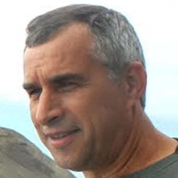
Virgílio Mendes
Profile
Research Group: RG3 – Solid Earth dynamics
Position at IDL: Researcher
Job: Associate Professor
Email: vmendes@fc.ul.pt
Telephone Number: (351) 21-750-0842
Extension: 28165
Room: 8.1.65
Academic Degree and field of specialization:
Ph.D., Surveying Engineering
Scientific Informations
ORCID: http://orcid.org/0000-0002-7362-8996
SCOPUS ID: https://www.scopus.com/authid/detail.uri?authorId=7004180190
Researcher ID: https://publons.com/researcher/1401137/virgilio-b-mendes/
Google Scholar: https://scholar.google.pt/citations?user=3QBGq6oAAAAJ&hl=pt-PT
Scientific Interests
Main Interests:
Vertical land motion and sea level change
GPS high-precision applications
Reference frames
Neutral atmosphere propagation delay in optical and radio space techniques
Top 10 Publications:
Mendes, V.B. and E.C. Pavlis (2004). “High-accuracy zenith delay prediction at optical wavelengths”. Geophysical Research Letters, Vol. 31, L14602, doi:10.1029/2004GL020308.
Mendes, V.B., G. Prates, E.C. Pavlis, D.E. Pavlis, and R.B. Langley (2002). “Improved mapping functions for atmospheric refraction correction in SLR”. Geophysical Research Letters, Vol. 29, No. 10, 1414, doi:10.1029/2001GL014394.
Mendes VB, Madeira J, Brum da Silveira A, Trota A, Elosegui P, Pagarete J (2013) Present-day deformation in São Jorge Island, Azores, from episodic GPS measurements (2001-2011), Advances in Space Research, 51 (8), 1581-1592, DOI: 10.1016/j.asr.2012.10.019
Niell, A.E., A.J. Coster, F.S. Solheim, V.B. Mendes, P.C. Toor, R.B. Langley, C.A. Upham (2001). “Comparison of measurements of atmospheric wet delay by radiosonde, water vapor radiometer, GPS, and VLBI.” Journal of Atmospheric and Oceanic Technology, Vol. 18, No. 6, pp 830-850.
Mendes, V.B, S.M. Barbosa, I. Romero, J. Madeira, A. Brum da Silveira; Vertical land motion and sea level change in Macaronesia. Geophys J Int 2017; 210 (2): 1264-1280. doi: 10.1093/gji/ggx229
Cabral, J., Mendes, V.B., Figueiredo, P., Silveira, A.B., Pagarete, J., Ribeiro, A., Dias, R., Ressurreição, R. (2017) Active tectonics in Southern Portugal (SW Iberia) inferred from GPS data. Implications on the regional geodynamics. Journal of Geodynamics https://doi.org/10.1016/j.jog.2017.10.002.
Projects (10 most relevant):
Ve-TOOLS – Development and implementation of e-tools for volcanic hazard assessment and risk management, funded by EC-ECHO, team member; PI – Juan Martí, 2015-17.
SHA-AZORES – Seismic Hazard Assessment in the Azores through Neotectonics and Paleoseismology studies, funded by FCT (PTDC/CTE-GIX/108637/2008), PI – José Madeira, 2010-13.
DISPLAZOR – Tectonic, volcanic and landslide displacement monitoring at Faial, Pico and S. Jorge (Azores) using GPS, funded by FCT (POCTI/32444/CTA/2000), team member; PI – Virgílio Mendes, 2001-05.
Awards:
Best paper award, melhor trabalho apresentado na sessão “GPS Reference and Testing Session”, ION GPS-95, the 8th International Technical Meeting of the Satellite Division of The Institute of Navigation, “The effect of tropospheric propagation delay errors in airborne GPS precision positioning.”

